David. September 30: Ride ended in Cedar City UT at western end of Western Express Section 3.
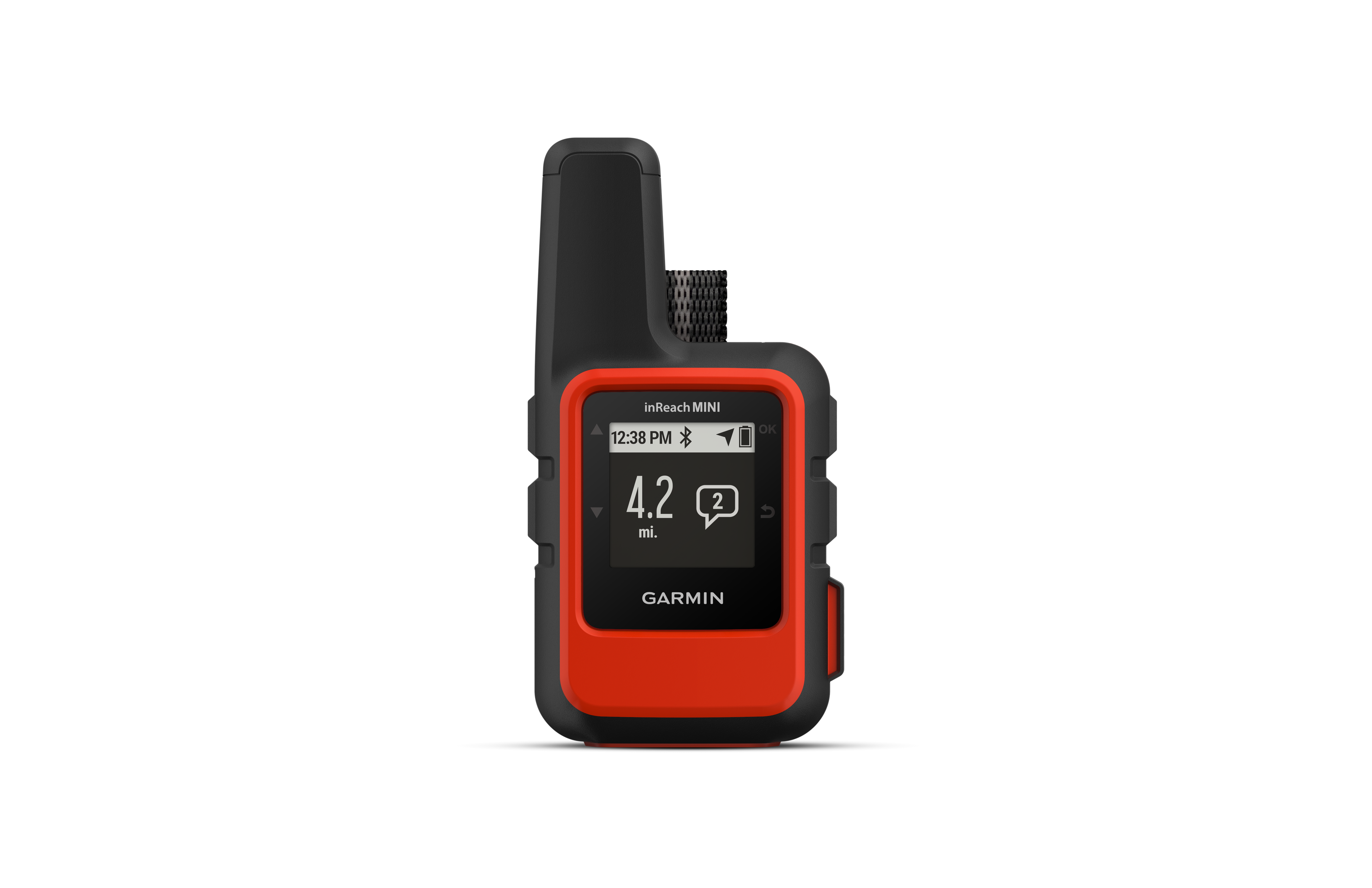
July 13: Started riding today on the planned route.. Follow along online. The MapShare site shows the progress of someone tracking with an inReach satellite communicator. Read messages they have sent to MapShare. You can even reply.