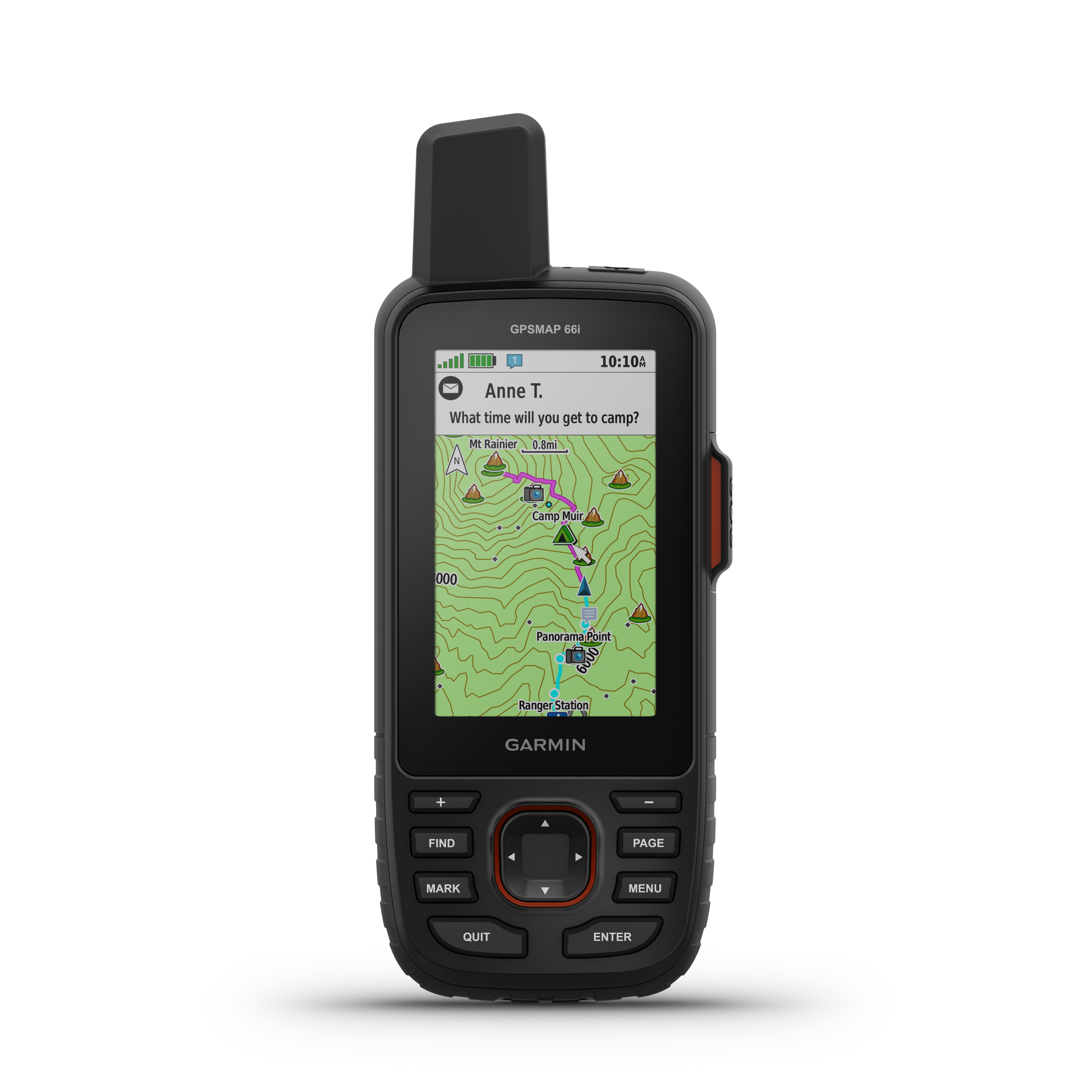
Paul's Appalachian Trail trip map. Paul's AT trip, starting March 11 at Springer Mountain in GA and ending (hopefully) early September at Mt Katahdin in Maine. Follow along online. The MapShare site shows the progress of someone tracking with an inReach satellite communicator. Read messages they have sent to MapShare. You can even reply.